 |
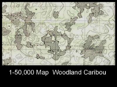
Slide 3 The 1 - 50,000
Canadian topographical maps produced by the
Department of Energy, Mines and Resources show
topographical information, are drawn at a good
scale for navigation, and contain the UTM Grid,
as well as latitude and longitude information. With a little practice, it's easy to correlate a postion on the map with a reading from your GPS receiver. Unfortunately, the topo maps don't show where the portages are, and they're not waterproof. |