 |
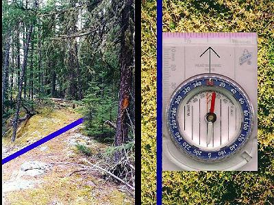
Slide 9 Our topographic map
is a little scale model of a real place. Here's
what the diagram or note on the map is trying to
tell us. It's telling us that if we were up in
Woodland Caribou Park, and we saw one of the
imaginary north-south grid lines - whoa! we
better sit down and rest a while! Ok, now we know that they're imaginary. But if we imagined seeing one of the north-south grid lines, and we laid the edge of our compass against it, our compass would point to magnetic north - or a little bit to the east - about 5 degrees. |